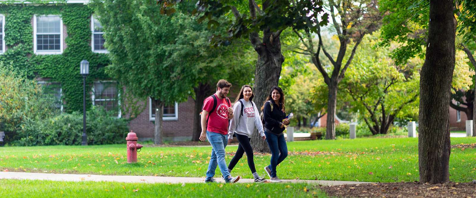
Keene State is a starting point for many good walking/jogging loops. Here are four “easily-done-in-a-lunchtime” options. Detailed, color maps are available at the Rec Center or as a downloadable PDF.
Safety
It is always a good idea to let others know where you are walking and when you expect to return. Walking in pairs and groups makes a walk more fun!
Route 1 – 1.5 miles
- From Spaulding Gym head north on Madison St.
- at Winchester St., turn right
- at Main St., take a right (south)
- at Appleton St., turn right
- when the road becomes a path, follow it past Pondside Apartments (on left)
- the path curves to the right, past the Pondside 1 Residence Hall (on left) and the Redfern Arts Center (on right) to the south parking lot
- bear left across the lot and walk between the gym and the Whitcomb maintenance building turn left after Whitcomb and walk past the right side of Carle Hall
- at Butler Ct., turn right
- at Winchester St., turn right 10, at Madison St., turn right and walk to the gym and the end of the route.
Route 2 – 2.25 miles
- From Spaulding Gym head north on Madison St.
- at Winchester St., turn right
- at Main St., take a right (south)
- at Appleton St., turn right
- when the road becomes a path, follow it past Pondside Apartments (on left)
- the path curves to the right, past the Pondside Residence Hall (on left) and the Redfern Arts Center (on right) to the south parking lot
- follow the southern edge of the lot to the bridge to the Joyce Athletic Field
- walk the perimeter of the fields going behind the tennis courts and following the river bank back to the bridge
- cross the bridge to the lot and continue as for Route 1 to end at the gym from Madison St.
Route 3 – 2.6 miles
- From the gym, walk south through the parking lot, past Redfern Arts Center (on left) and Pondside 1 Residence Hall (on right)
- bear right just before Pondside Apartments, taking the walkway under Rte. 101
- turn right and walk down the road to the footbridge and the entrance to the Owl Athletic Complex (OAC)
- after the bridge, turn immediately right and follow the edge of the mowed area, winding behind the wetlands and trees and brush area, close to Rte. 101
- follow the trail up onto the railway bed and turn left (caution, this is a snowmobile trail)
- follow the railway bed until it intersects with Krif Road
- turn left on this road and immediately bear right onto the mowed path under the power lines
- follow the mowed path (the cross country loop) through the woods, along the river (on right), and behind the softball and baseball fields to the footbridge
- continue back to KSC to finish at the gym.
Route 4 – 2.9 miles
- Start as for Route 3
- from the footbridge at Owl Athletic Complex, follow the dirt path through the complex to the parking lot
- follow the road through the lot and out the entrance to the road
- follow the road, take the first right, and walk to the UPS building
- return along the same route back to the gym.
X-C Skiing
You can find maintained cross-country ski trails on Joyce Athletic Field and on the Owl Athletic Complex that approximately follow Routes 2 and 3.