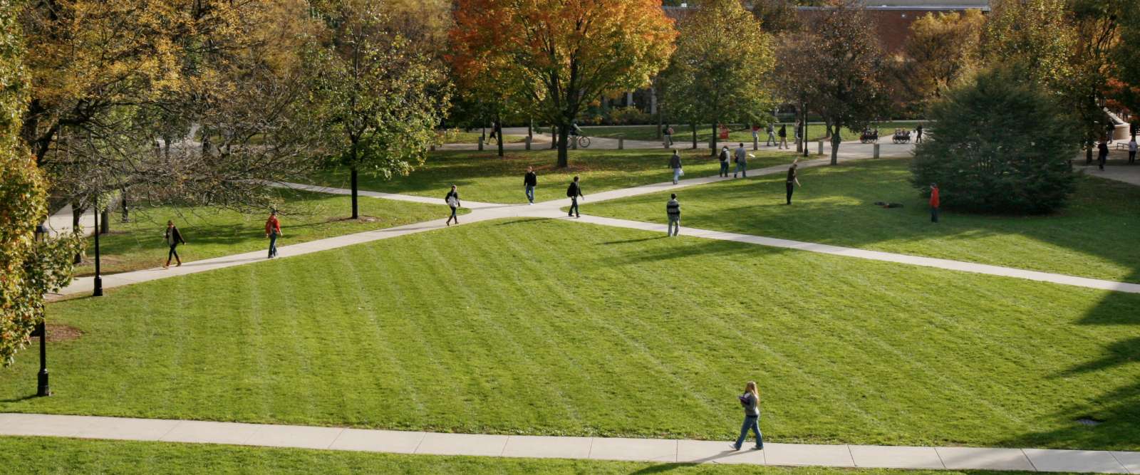
Campus Maps
Need to find a building, department, or parking? Use our interactive map or download a printer friendly Adobe® PDF of campus.
Related Resources
- Visitor Parking - information on visitor parking permits, available from Campus Safety.
- Trail Map - four walks of varied distance around campus.
- Louis Cabot Preserve - Keene State College is fortunate to own 400 acres of pristine wilderness on Lake Nubanusit in the towns of Nelson and Hancock, NH.
Driving Directions
Planning a visit to KSC and need driving directions? Simply enter the address you’ll be coming from in the search box below and Google maps will do the rest. See you on campus!


